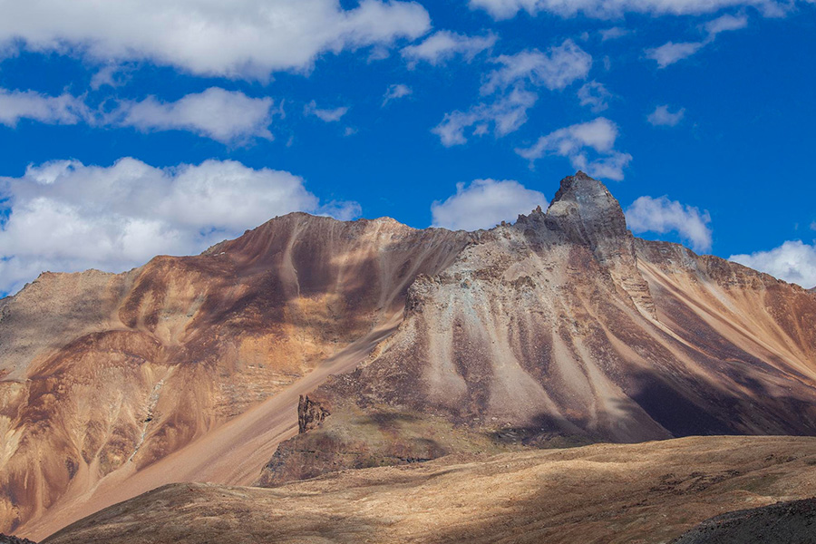
This high rate of erosion is due to the increase in the exhumation rate because of an increase in twofold in Mio-Pliocene in the margin of Tibetan.
Authors
Rohit Kumar, Discipline of Geology, School of Sciences, Indira Gandhi National Open University, New Delhi, India.
Rahul Devrani, Assistant Professor, Jindal School of Environment and Sustainability, O.P. Jindal Global University, Sonipat, Haryana, India.
Shailendra Pundir, Sedimentology and Quaternary geology and Structure & Tectonic Department Division, Wadia Institute of Himalayan Geology, Dehradun, India; Department of Geology, Centre of Advanced Study, Kumaun University, Nainital, India.
Ihsan U. Lone, Discipline of Geology, School of Sciences, Indira Gandhi National Open University, New Delhi, India.
Vikas Adlakha, Sedimentology and Quaternary geology and Structure & Tectonic Department Division, Wadia Institute of Himalayan Geology, Dehradun, India.
Kiran Sathunuri, Discipline of Geology, School of Sciences, Indira Gandhi National Open University, New Delhi, India.
Benidhar Deshmukh, Discipline of Geology, School of Sciences, Indira Gandhi National Open University, New Delhi, India.
Anil Kumar, Sedimentology and Quaternary geology and Structure & Tectonic Department Division, Wadia Institute of Himalayan Geology, Dehradun, India.
Summary
Geomorphic processes coupled with tectonics are responsible for a higher rate of sediment flux and landscape evolution. In this context, the widely used Revised Universal Soil Loss Equation (RUSLE) model has been applied in the upper Shyok river basin, a tributary of the Indus river, which covers an area of ~14 156 km 2 .
Rainfall erosivity has been calculated from Center for Hydrometeorology and Remote Sensing rainfall data, soil texture maps from National Bureau of Soil Survey and Land Use Planning (NBSS and LUP) for soil erodibility, Advanced Land Observing Satellite- Phased Array type L-band Synthetic Aperture Radar (ALOS-PALSAR) Digital Elevation Model for slope length and steepness, crop management from pre-post Normalized Difference Vegetation Index in the Google Earth Engine, and support practice through landuse landcover (LULC) classes derived from the European Space Agency.
The result indicates that ~21.24 t/ha/year mean soil loss rate has been observed in the Shyok river basin, highest (28.32 t/ha/yr) in bareland LULC classes and lowest in the forest (2.09 t/ha/yr) LULC classes. 11.89% of the study area indicates no erosion since the RUSLE model cannot be used in glacier and snow cover areas. This high rate of erosion is due to the increase in the exhumation rate because of an increase in twofold in Mio-Pliocene in the margin of Tibetan. The geomorphic parameters (e.g. slope, relief) with long-term exhumation rate in the Trans-Himalayan region of India show a statistical correlation.
Published in: Weathering and Erosion Processes in the Natural Environment, Pages 243 – 263, Wiley
To read the full chapter, please click here.

