

This study analyses the seasonal patterns for surface and canopy-layer urban heat island in three climate zones — Delhi, Pune, and Montreal.
Authors
Bakul Budhiraja, Postdoctoral Research Associate, O. P. Jindal Global University, Sonipat, Haryana, India.
Prasad Pathak, Associate Professor of Environmental Studies, Flame University, Pune, Maharashtra, India.
Girish Agarwal, Professor, Jindal School of Art & Architecture, O.P. Jindal Global University, Sonipat, Haryana, India.
Raja Sengupta, Associate Professor in the Department of Geography & McGill School of Environment, McGill University, Montreal, Canada.
Summary
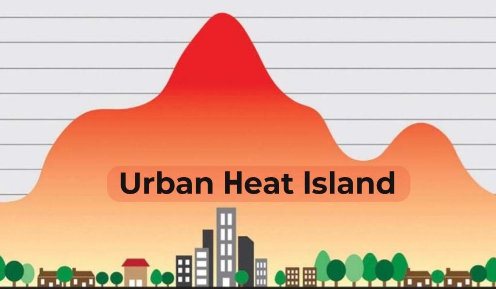
The urban heat island (UHI) effect is one of the prominent impacts of urbanization that affects human health and energy consumption. As the data is limited and inconsistent, UHI comparative studies between UHIUCL and UHISurf on the seasonal scale are limited. The use of only daytime summer imagery reporting “Inverted UHI” undermines the holistic view of the phenomenon. Therefore, this study analyses the seasonal patterns for UHISurf and UHIUCL in three climate zones (Delhi, Pune, and Montreal). The three cities experience a high traditional night-time UHIUCL (Delhi 7°C, Pune 6°C, Montreal 1.89°C). Landsat captures a prominent daytime UHISurf (15°C) in Montreal with temperate climate and daytime inverted UHISurf (-4°C) for Delhi in summer. Seasonally, the night-time UHI is prominent in summer and monsoon for Delhi, summer and spring for Pune, and summer for Montreal. Due to UHI effect, the heatwaves can be more intense in semi-arid and tropical cities than temperate cities.
The greatest difference between the urban and rural air temperature values, the UHIUCL intensity, tends to reach a maximum about four hours after sunset (Oke at al., 2017). This value of UHIUCL intensity has been correlated with both population and areal expansion of built-up areas (Streutkar, 2003). Oke showed that during nights with clear skies, an empirical relationship can be defined between the value of UHIUCL intensity for a city and the logarithm of its population (Oke, 1973; Oke, 1976). Subsequently, other measures such as Sky View Factor (SVF) (Runnalls & Oke, 2000) and Local Classification Zone (LCZ) (Stewart & Oke, 2012) have been proposed that link UHI directly to morphology and land use.
Published in: International Journal of Applied Geospatial Research
To read the full article, please click here.