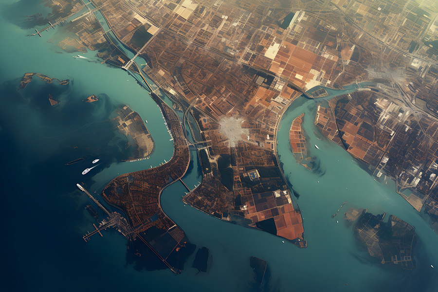
The research examines how various remote sensing technologies, such as satellite imaging, aerial photography, and uncrewed aerial vehicles, enhance human rights investigations.
Authors
Prateek Mishra, School of Law, KIIT University, Bhubaneshwar, Odisha, India.
Akash Bag, School of Law, Amity University, Raipur, 493225, Chhattisgarh, India.
Shashank Nande, School of Law, KIIT University, Bhubaneshwar, 751024, Odisha, India.
Vishal Kumar Rai, O.P. Jindal Global University, Sonipat, Haryana, India.
Sanskriti Kadiyan, O.P. Jindal Global University, Sonipat, Haryana, India.
Sujata Newton, O.P. Jindal Global University, Sonipat, 131001 Haryana, India.
Summary
The employment of remote sensing technologies in the field of international human rights to record crimes against humanity has significantly increased in the twenty-first century.
The use of remote sensing technologies in human rights investigations is covered in the text. Remote sensing, the technique of gathering data from a distance, has emerged as an important instrument for recording crimes against humanity and apprehending their offenders.
The research examines how various remote sensing technologies, such as satellite imaging, aerial photography, and uncrewed aerial vehicles, enhance human rights investigations.
Analyzed are remote sensing technology’s effects on human rights prosecutions and the difficulties it will face going forward, such as its limitations and the requirement for continued research and development.
The paper aims to give readers a thorough grasp of how remote sensing is used in violations and proceedings of human rights investigations.
Published in: AIP Conference Proceedings, International Conference on Advance Computing and Ingenious Technology in Engineering Science, ICACITES 2021Greater Noida 30 December 2021 through 31 December 2021.
To read the full article, please click here.

